
La Porte ZIP Directory Coverage
Captured official sources support two distinct La Porte postal uses. ZIP 46350 is the standard geographic and street-delivery code confirmed by the official La Porte Post Office listing. ZIP 46352 appears in official Indiana mailing and election examples as a separate mailing or PO Box-style code. The unattended USPS city-and-state query did not yield a static full list, so the two codes should not be merged or treated as interchangeable.
| ZIP | Supported La Porte use | Post office | Key caution |
|---|---|---|---|
| 46350 | Standard street-delivery and geographic ZIP | La Porte Post Office, 1201 Lincolnway | Check each exact address; the ZIP does not prove city limits or occupancy |
| 46352 | Mailing or PO Box-style use in official Indiana examples | Station assignment was not captured | Verify in USPS Cities by ZIP before treating it as a street code |
County documents also show 46340, 46348, 46360, 46365, 46371, 46382, 46390, 46391, and 46574 in La Porte County contexts. Those are county examples, not La Porte city ZIP codes. Their communities, offices, and edge conditions require their own USPS result.
Search La Porte Postal Modes
The USPS ZIP Code Lookup has three paths, and each answers a different question. Address mode standardizes one street address and returns its ZIP. City and State mode lists postal ZIPs tied to a postal city. Cities by ZIP returns recommended city names for one code. None is a resident roster.
| USPS mode | Fields | What it returns | Use in La Porte |
|---|---|---|---|
| By Address | Company optional; street required; unit optional; city, state required; ZIP optional | Standardized address and ZIP | Best check for an exact La Porte street |
| By City and State | City and state required | Postal ZIP list | Use as a list, then test the actual address |
| Cities by ZIP | ZIP required | Recommended city names | Check 46350 or 46352 without inferring jurisdiction |
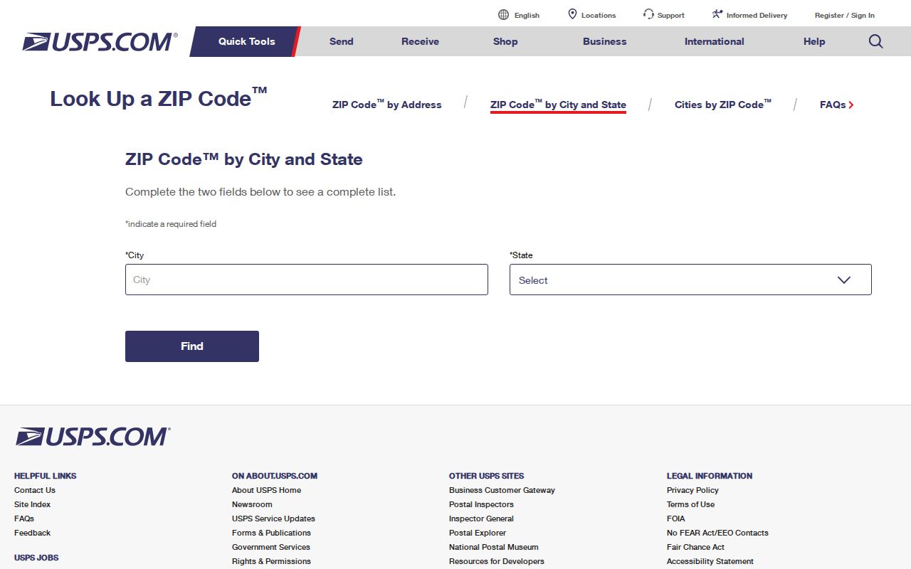
The captured USPS interface shows the lookup choices:
La Porte Post Office Check
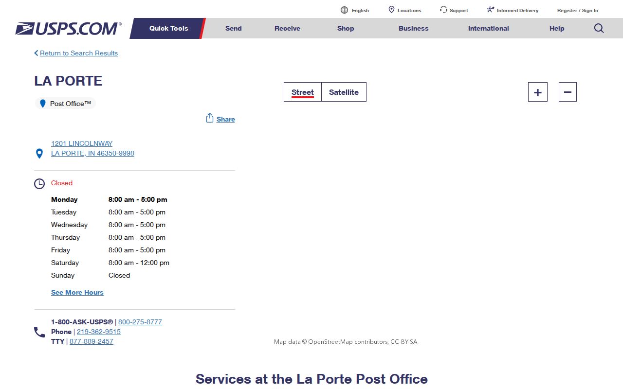
The official La Porte Post Office listing identifies 1201 Lincolnway, La Porte, Indiana 46350-9998, with phone 219-362-9515. That proves a 46350 postal facility in La Porte. It does not prove that every municipal parcel uses 46350, and the 9998 suffix in the facility listing should not be copied onto a private address.
The source page also provides service and location hours, which can change. Call or recheck it before a counter visit. For a PO Box question involving 46352, ask USPS to confirm the proper assignment because the research did not capture a separate station listing.
The official facility page appears in the saved image:
Find La Porte Residents by ZIP
A ZIP code narrows geography, but the official tools found in the research do not publish a verified ZIP-wide list of La Porte residents. Beacon accepts name, address, or parcel searches, while a public ZIP-wide export was not captured. The GIS Hub may expose ZIP attributes in a layer, yet its exact schema and query controls were not visible. Indiana Voters uses identity fields and county rather than a public ZIP roster. Keep the search focused on a lawful personal purpose and a known address or name.
- Enter the full street address in USPS Address mode. Save the standardized form, returned ZIP, and lookup date.
- Check City and State mode for postal context. Keep 46352 separate if it appears as a mailing code.
- Compare the address in La Porte County Beacon or GIS. Confirm the parcel and municipal jurisdiction rather than assuming them from the ZIP.
- Search the relevant official record by its supported fields, such as name, address, or parcel number. Do not promise a ZIP filter that was not captured.
- Once the area is narrow, use the La Porte street directory for the address-level record chain.
Record what each source actually shows. A postal result describes delivery. A parcel card identifies assessed property. A voter-status result answers a registration question for the supplied identity fields. None alone proves current occupancy.
La Porte ZIP Boundary Limits
USPS delivery lines need not follow the La Porte city boundary, township line, or county edge. A street may use a La Porte mailing name outside the municipality. A municipal parcel may also carry an adjacent postal city or code. Water, rail routes, historic trails, and the Michigan border add more geography to local records. The right sequence is postal check, parcel check, and jurisdiction check.
This is the key myth to avoid: a ZIP match does not prove where a person resides. Beacon ownership, a deed index, a historical directory entry, and a USPS result answer different questions. Dates can also differ. Keep the postal lookup date beside the assessor or GIS layer date.
- ZIP Code
- A USPS code used to sort and deliver mail.
- ZIP+4
- The base five digits plus four more digits that narrow a delivery segment.
- PO Box ZIP
- A code used for post-office-box mail rather than assumed street delivery.
- Unique ZIP
- A code assigned to a high-volume organization. None was verified for La Porte.
- Carrier route
- A postal delivery path, not a city district or list of occupants.
La Porte ZIPs and ZCTAs
The Census Bureau uses ZIP Code Tabulation Areas, or ZCTAs, for statistics. A ZCTA is a generalized area built for tabulating data. It is not a USPS route. The Census ZCTA guidance also notes limits in ZIP-level American Community Survey availability, with five-year ACS data available from 2011 onward.
La Porte city QuickFacts describes the municipality as its own geographic unit. That city figure must not be relabeled as a 46350 figure. Likewise, ZCTA population cannot be used as a count of current postal customers or named residents. A ZIP code directory can point to broad statistical context only when the Census year and geography label remain attached.
Research Old La Porte ZIP Codes
The current USPS tool does not provide a historical La Porte ZIP chronology. No official split, realignment year, or old-to-new ZIP crosswalk was found. For a dated address, begin with a city directory or telephone book from the same year. Then check newspaper ads, post-office listings, plat maps, and local history files. The LPCPL Indiana Room has old newspaper microfilm, maps, and yearbooks, while the Historical Society keeps directory and telephone-book runs.
Write the result as a source claim. For example, state that a code appeared in a dated directory or postal notice. Do not project it onto all nearby years. If staff cannot find an official change notice, preserve that gap instead of assigning a date.
Log La Porte Postal Results
A short source log prevents most ZIP mistakes. It should keep the exact address entered, mode used, returned postal city, five-digit code, any ZIP+4, query date, and source link. Add the parcel jurisdiction and map date in separate fields. This makes clear why a mailing address, current GIS layer, and old directory may disagree without any source being false.
| Postal result | Standardized address, ZIP, recommended city, mode, and lookup date |
|---|---|
| Parcel result | Parcel identifier, situs address, municipal or county layer, and data date |
| Historical result | Directory title, year, page, exact spelling, and holding institution |
| Uncertainty | Missing station, boundary, or historic change information stated as not verified |
Checked 2026-08-24. Dynamic postal details, hours, and GIS data dates should be checked again before relying on them.