
Walk a La Porte Street
The soundest street-by-street search begins with the place, not a guessed person. La Porte County separates parcel, deed, voting, permit, and historical evidence among different custodians. Each record answers a narrow question. A parcel card names the assessment owner; a deed records a legal transfer; a directory is a dated household snapshot. Taken in order, they form a useful La Porte street directory without turning one index entry into a claim of current occupancy.
Keep the search date beside every result. Streets, owners, map layers, and household listings change on different schedules. Then follow this sequence:
- Normalize the number, direction, suffix, unit, and postal city.
- Find the parcel in Beacon or county GIS; record its situs address, parcel ID, and legal description.
- Search Tapestry by Address or Parcel; compare the latest grantor and grantee.
- Use voter information only through the lawful state or county route.
- For older occupants, check the Historical Society directory run and maps for the right year.
Label ownership, occupancy evidence, and postal data separately. That habit prevents most false matches.
La Porte Numbers Follow Baselines
La Porte’s current city code gives address numbers a local logic. The primary building entrance controls the number. Numbering begins at 100 and advances at a rate of one number for each 50 feet. Odd numbers fall on the north and east sides, while even numbers fall on the south and west sides. Railroad and named streets, including Norfolk Southern, Park, Rose, and Monroe, help define baselines.
This is a strong check when a street directory result seems misplaced. The code can explain the modern pattern, but it does not prove when an older address changed. No official old-to-new crosswalk was found. For a historic mismatch, ask City Engineering for archived address cards, old maps, or a formal crosswalk. Compare those records with a directory printed near the target date.
Local numbering tip. A modern number can fit today’s code and still differ from the number printed in an early La Porte directory.
Search La Porte Parcels First
The La Porte County Assessor links Beacon as the public property route. Search by name, address, or parcel ID. The generic official interface exposes the controls below, though the local card was blocked during research. Treat these as confirmed search modes, not a promise that every local result displays each field.
| Beacon control | Input | Street use |
|---|---|---|
| Area | Indiana, then La Porte County | Select the local roll |
| Name | Assessment name | Check a known party |
| Address | Number and street | Find the target parcel |
| Parcel ID | County identifier | Survive name variation |
| Results | Parcel, alternate ID, address, ownership, city, area, state, ASV, reference, STR | Supply map and index keys |
Assessment ownership is not occupancy. A mailing address may also differ from the situs address, the physical address assigned to the parcel. Verify title with the Recorder and household presence with a dated source.
The county-linked Beacon search appears below.
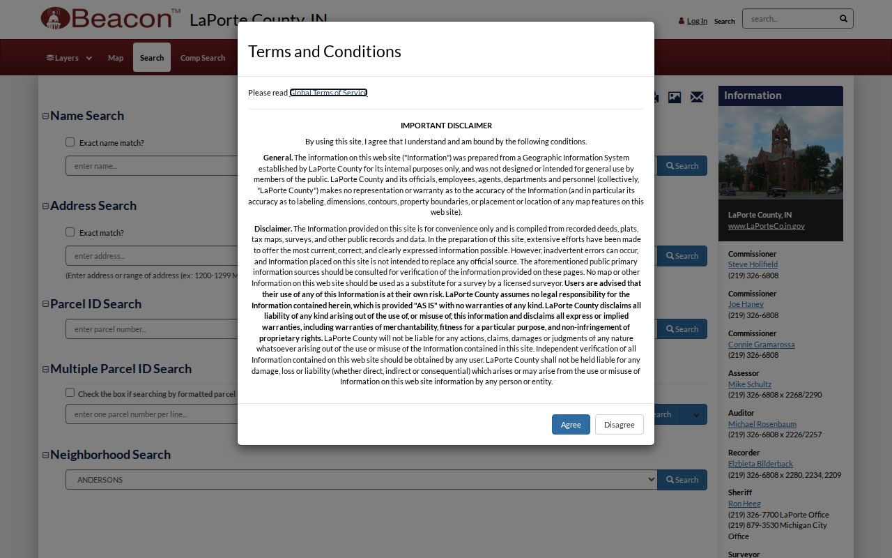
The screen begins parcel research; it does not prove who is inside a building.
Map La Porte Streets in GIS
The La Porte County GIS page identifies parcels, addresses, road centerlines, and zoning among its layers. The public GIS Hub also offers map search, downloads, and API links. Those layers let a researcher follow one named street, see lot shapes, note vacant or common land, and separate an address point from the parcel polygon beneath it.
Use the map for spatial questions. Does the parcel touch the road? Is a building on the expected side? Does a right-of-way interrupt two lots? Verify each parcel on its own. The live query controls and neighbor-selection result were not exposed, so no buffer tool should be assumed. Contact county GIS director Daniel Barnes when a layer date, field, or boundary matters.
La Porte Records By Address
A useful La Porte street directory combines several address-keyed sources. Access does not end at a portal. Beacon and Tapestry have county-office fallbacks; the library and Historical Society cover older material; City Engineering handles permit or address questions that lack a public index.
| Address source | Keeper | What it establishes | Access channels |
|---|---|---|---|
| Assessment parcel | County Assessor | Assessment name, parcel, situs | Beacon; counter, phone, email |
| GIS layers | County GIS | Shape, address point, centerline, zoning | Hub, downloads/API, county contact |
| Recorded instruments | County Recorder | Grantor, grantee, book/page, transfer | Tapestry, Laredo, counter, phone, email, certified copy |
| Voter registration | County board and Indiana SOS | Registration data with redactions | Indiana Voters, signed forms, lawful file request |
| Building records | City Engineering | Permit facts by address | Citizen portal, phone, email, counter, focused request |
| Directories and maps | Historical Society and LPCPL | Dated occupants, lots, old names | Research rooms, microfilm, digital collections, staff |
When the web search fails, call with the exact address, parcel ID, date range, and record type. Indiana’s Access to Public Records Act, IC 5-14-3, supports a focused request for a non-exempt record not supplied through ordinary access.
La Porte Deeds Track Transfers
The La Porte County Recorder keeps deeds, mortgages, liens, leases, plats, and other instruments. Tapestry provides Grantor, Grantee, Parcel, and Address sections. Search each route separately. Match book/page, instrument number, legal description, and associated documents before deciding two entries concern the same lot.
Coverage needs care. County material says real-estate images run from January 1966 forward, while another county description reports deed images back to January 1832. Ask whether the older statement means an index, images, or another series. The counter at 555 Michigan Avenue, Suite 201, opens weekdays from 8:00 a.m. to 4:00 p.m.; phone and email are also available. Tapestry may charge for images, and Laredo is a subscription route.
The Tapestry portal supplies the index workflow pictured here.
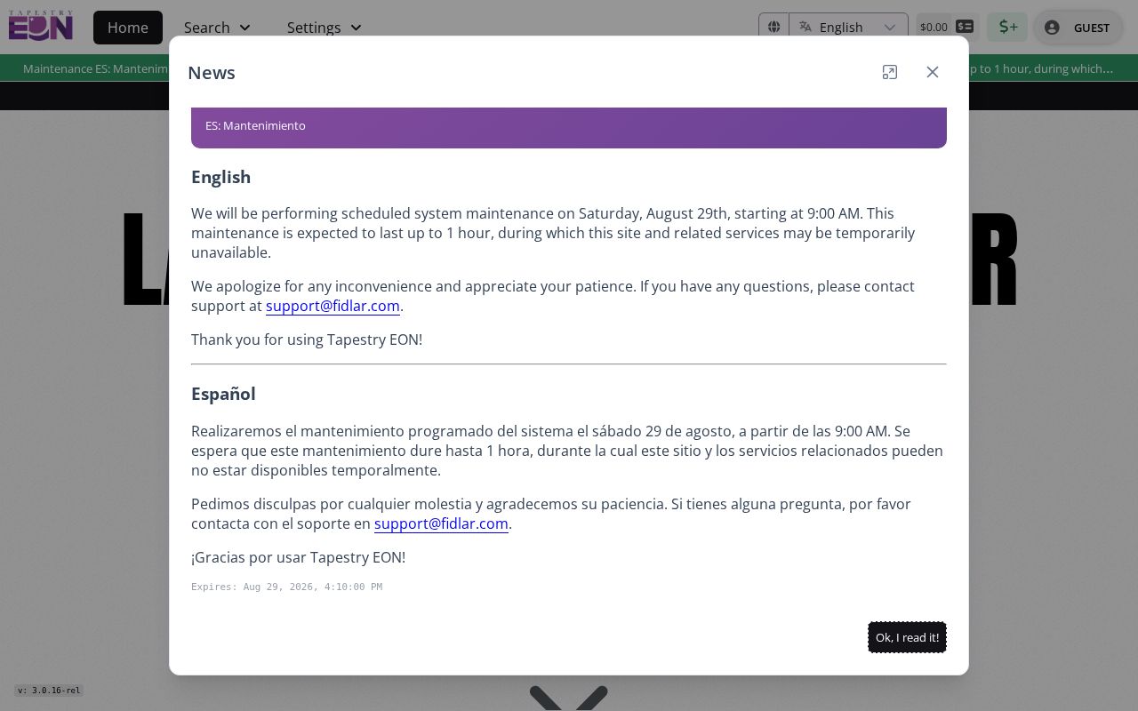
A deed search needs party, parcel, and instrument details, not a street name alone.
Read La Porte Address Terms
County tools use terms that sound alike but describe different facts. Knowing them makes a by-address search more exact.
- Parcel
- A mapped tract used for assessment and land records; it can hold more than one structure.
- Situs address
- The physical parcel address, distinct from an owner’s tax mailing address.
- Plat
- A recorded map of lots, blocks, streets, and subdivisions.
- Criss-cross directory
- A directory arranged by street or phone number, useful for a dated household listing.
The generic Beacon search controls show name, address, and parcel ID as distinct keys.
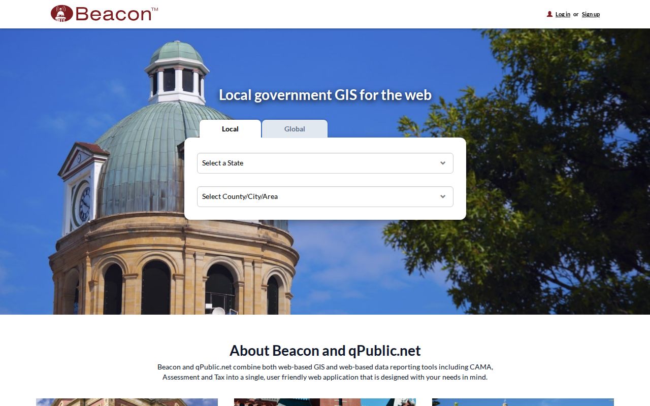
Separate modes let the user test a result instead of forcing every search through a name.
Historic La Porte Streets Shift
The Historical Society holds city maps from 1854, 1866, and 1889, indexed atlases from 1874 and 1892, later plat books, and Sanborn fire-insurance maps. They can reveal a former lot line, footprint, business use, railroad edge, or street spelling. They help when a modern parcel number did not exist in the year at issue.
Search the Society’s city-directory run, which begins in 1859, at the same time. Use the exact printed number, then compare the deed’s legal description. The La Porte city directory collections merit year-by-year reading; here, they serve as one address tool. The best insider method is to test the old street entry before assuming a current parcel key can reach the past.
La Porte Permits Need Fallbacks
La Porte City Engineering and Building supplies a Citizen Service Portal for permits, inspections, and contractor registration. Its checklist asks for an address, permit type, applicant details, plans, dimensions, and setbacks. A historical public permit index and searchable code archive were not found, so the portal is not a full address history.
Use the online service for current work. For an older file, contact Engineering at 219-362-2327 or Planning at 219-362-8260, visit the counter, or request a narrow record by address and dates. Ask for one record family, a street address, and a bounded date span. If the building had an old number, give both forms and the parcel or lot description. City staff can then identify an address assignment, permit, inspection, or code record without guessing which file is meant.
Historical Society house files and Sanborn maps may fill part of the story, but do not replace a city permit. A dated photograph can show a structure, and a map can show its footprint. Neither proves that a permit was issued or that the person named in another source occupied the site. Keep those facts as separate lines in the street record.
La Porte Street Directory Limits
No La Porte street directory proves who lives at every door. Beacon identifies an assessment owner, but owners may receive mail elsewhere. A deed documents a transfer, not daily presence. USPS confirms postal form, while GIS shows mapped location. Voter records are redacted in part and Indiana’s Address Confidentiality Program protects qualifying records. Utility and motor-vehicle addresses are not public shortcuts.
Compiled commercial records can be stale, merge two people, or omit protected data. Verify at the official source and leave a result blank when a lawful record is unavailable. The same caution applies to vacant land, multi-unit parcels, and buildings with more than one mailing label.
Lawful use. Use La Porte address records for personal research, family history, and civic curiosity, never to stalk, harass, threaten, or harm anyone.